CALS Influence Stories
Mapping the Future
MSU student utilizing AI learning and satellite imagery to transform land-use and understand landscapes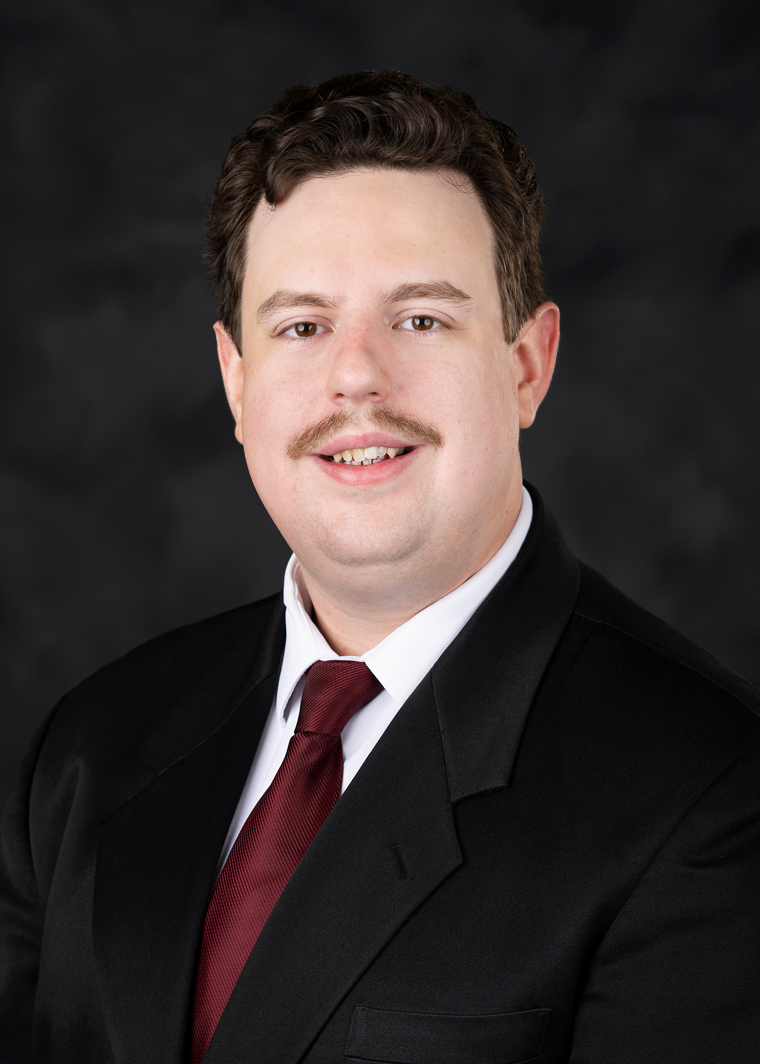
Dakota Hester, a Tishomingo native, spent his childhood summers with annual trips to the U.S. Space and Rocket Center in Huntsville, Alabama. He found himself captivated by the idea that science could help him learn more about the unknown, but he also discovered it could help him learn more about the earth beneath his feet.
Today, that curiosity has turned into cutting-edge research opportunities that have landed him a prestigious Graduate Research Fellowship through the Mississippi Space Grant Consortium (MSSGC), a competitive NASA-affiliated program supporting space-and-STEM-related innovation.
“I’ve always had a love for science and technology,” he said. “When I found out I could use those skills to make a tangible impact, it all just clicked.”
Hester’s research utilizes advanced artificial intelligence to generate some of the most detailed and accurate land cover maps ever produced in the state, showing how researchers can reshape the management of land used for forests, farms, and other natural resources.
“I found myself drawn more to the math and data side of computer science,” said Hester, who earned his undergraduate degree in computer science from MSU. “At the same time, I started thinking about how I could apply that to the real world, particularly in areas like forestry and natural resource management.”
With strong family ties to Mississippi’s forestry industry, Hester realized he could blend his tech expertise with environmental science. He first joined MSU’s Department of Sustainable Bioproducts for his master’s, researching how AI could identify wood species by analyzing surface characteristics. He later transitioned into the Department of Agricultural and Biological Engineering under the director of Dr. Vitor Martins, assistant professor and scientist with the Mississippi Agricultural and Forestry Experiment Station, to expand his research in AI while pursuing his doctoral degree.
Hester’s process utilizes satellite and aerial imagery to determine what type of landscape exists in a given area: forests, fields, roads, buildings, or bare earth. Traditionally, this has been done at relatively coarse resolution which results in blurry images and no fine details.
“What we’re doing is generating high-resolution land cover maps using one meter aerial imagery,” Hester explained. “That means our maps are about 100 times more detailed than many of the existing datasets.”
Mississippi’s agriculture and forestry industries contribute billions annually to the state economy yet creating high-resolution maps to cover the whole state requires massive amounts of data and computing power.
To overcome this, Hester and his team developed a two-step AI approach: first, intelligently selecting the most informative images to label using a separate machine learning model. Then, they “pre-train” the land cover model using a process called self-supervised learning which is the same type of technique used in large-scale AI models like ChatGPT.
“Basically, we show the model a huge number of unlabeled images first so it can learn general patterns, then fine-tune it using just a few hundred labeled samples,” Hester explained. “It’s a much more efficient way to train, and it works incredibly well.”
With the team successfully building a land cover map for all of Mississippi, Hester’s sights are set on scaling it nationally.
“We’ve proven this works in Mississippi,” he said. “Now we want to take it nationwide. It’s a huge challenge, but with support from NASA and MSSGC, I think we can make an impact.”
As part of the fellowship, Hester visits classrooms across the state, talking to K–12 students about careers in STEM and showing them what it means to be a researcher.
“Don’t be afraid to be ambitious,” he encouraged future students. “Push the boundaries of your research and think hard about how you can inspire the next generation. That’s what this program is all about.”
By: Lily Grado